
Friesenried
municipality of Germany
Press Enter · cited answer in seconds
0 sources
Summary
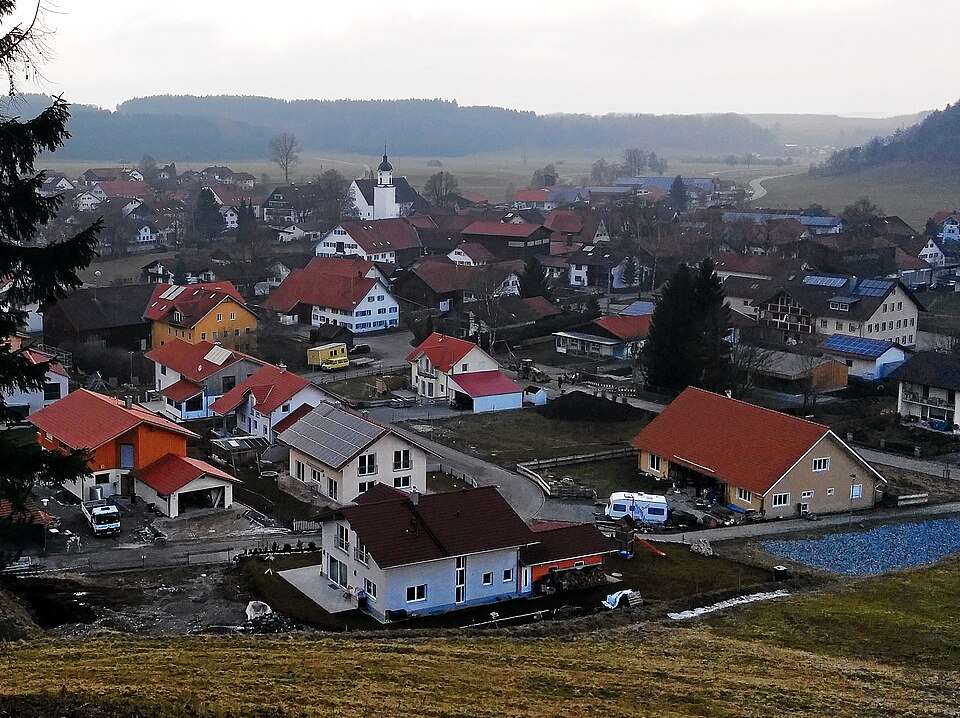
Friesenried is a municipality without town privileges in Germany[1]. Friesenried has Wikipedia articles in 19 language editions, a strong signal of global cultural recognition.[2]
Key Facts
- Located in the administrative territorial entity: Ostallgäu[3]
- Country: Germany[4]
- Head of government: Bernhard Huber[5]
- Shares border with: Kaufbeuren[6], Aitrang[7]
- Postal code: 87654[8]
- Part of: Verwaltungsgemeinschaft Eggenthal[9], Stimmkreis Marktoberdorf[10]
- Commons category: Friesenried[11]
- Licence plate code: OAL[12]
- Local dialing code: 08347[13]
- Coordinate location: 47.874722222222, 10.533055555556[14]
- Official website: http://www.friesenried.de[15]
- Topic's main category: Category:Friesenried[16]
- Commons gallery: Friesenried[17]
- Population: 1399[18], 1261[19], 1022[20], 708[21], 537[22], 1518[23], 1524[24], 1531[25], 1532[26], 1533[27], 1529[28], 1551[29], 908[30], 1565[31]
- Office held by head of government: mayor of Friesenried[32]
- Official name: Friesenried[33]
- List of monuments: list of architectural heritage monuments in Friesenried[34]
- Native label: Friesenried[35]
- Elevation above sea level: 736[36]
- Area: 22.24[37], 22.26[38]
- Hashtag: Friesenried[39]
Why It Matters
Friesenried is known by 7 alternative names across languages and contexts.[40]