
Doraville
city in DeKalb County, Georgia, United States of America
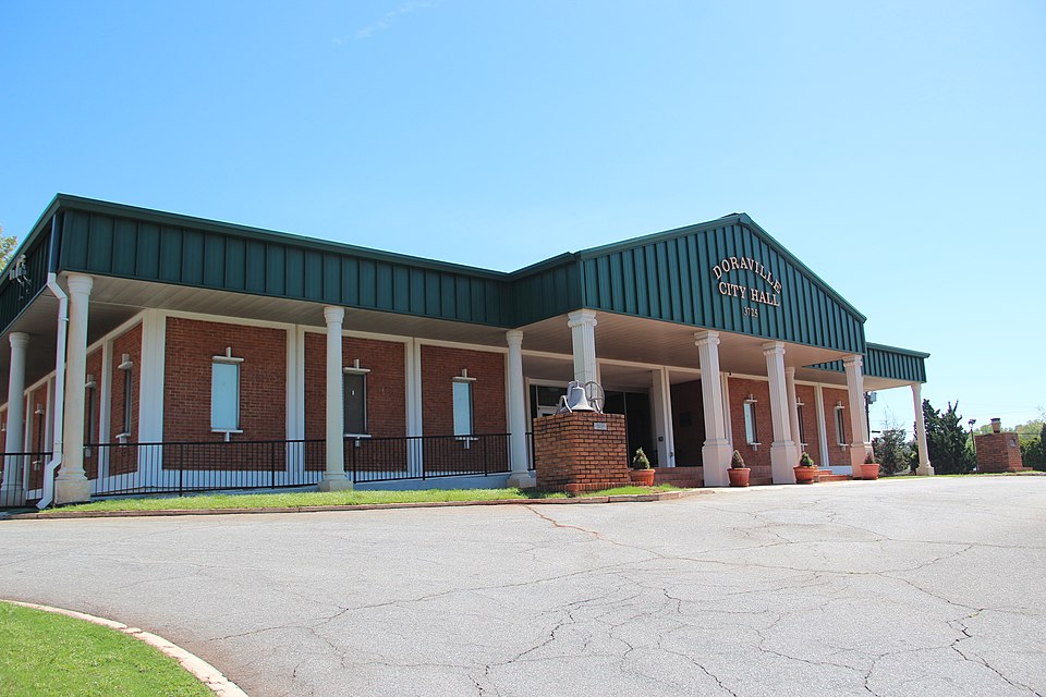
Facts
19 propertiesIdentity
- Instance of
- city in the United States, municipality of Georgia[4]
- Inception
- 1871[7]
- Official website
- www.doravillega.us[9]
- Official name
- Doraville
Location
- Country
- United States[3]
- Coordinate location
- 🗺️ 33.905°, -84.274°[8]
- Located in the administrative territorial entity
- DeKalb County[2]
Population and size
- Area
- 12.717359 km², 9.286515 km² (2010)
- Elevation above sea level
- 327 m
Codes
- Local dialing code
- 770[6]
- Located in time zone
- Eastern Time Zone[5]
More facts +7
- Website
- www.doravillega.us
- Located in
- DeKalb County
- Coordinates
- 🗺️ 33.905°, -84.274°
- Number of households
- 3,360 (2020)
- Per capita income
- 23,447 USD (2020)
- Territory overlaps
- Atlanta urban area
- Water as percent of area
- 0.1079% (2010)
🏷️ Also known as
en Doraville
en Doraville, GA
en Doraville, Georgia
ar دورافيل
ar دورافيل (جورجيا)
es Doraville (Georgia)
fa دراویل
ja ドラヴィル
ja ドラビル
tr Doraville, Georgia
uk Доравілл
zh 多拉維爾
🔖 Identifiers · 17
- VIAF cluster ID
- 123229644
- Library of Congress Authorities ID
- n85308384
- FIPS 55-3 (locations in the US)
- 13-23536
- FactGrid item ID
- Mary Polla
- Freebase ID
- /m/0rvv9
- GeoNames ID
- 4191768
- J9U entity ID
- 987007560182505171
- MusicBrainz area ID
- 921fbf4a-2a3b-468f-b240-c341b9633e92
- OpenStreetMap relation ID
- 119363
- Quora topic ID
- Doraville
Show all 17 identifiers +5
- Topic's main category
- Category:Doraville, Georgia
- UN/LOCODE
- USDRH
- WOEID
- 2392974
- Who's on First ID
- 85936447
- WorldCat Entities ID
- E39PBJjXgKm3Dr7VPhBw4mK68C
🔗 Connections
Country 1
FactGrid item ID 1
Instance of 1
Located in the administrative territorial entity 1
Located in time zone 1
Topic's main category 1
← Category's main topic 1
← Headquarters location 1
← Location of creation 1
← Location of formation 1
← Shares border with 1
Press Enter · cited answer in seconds