Lawrence County
0 sources
Lawrence County
Summary
Lawrence County is a county of Indiana[1]. It draws 23 Wikipedia views per month (county_of_indiana category, ranking #55 of 92).[2]
Key Facts
- Lawrence County is located in Indiana[3].
- Lawrence County is in the country of United States[4].
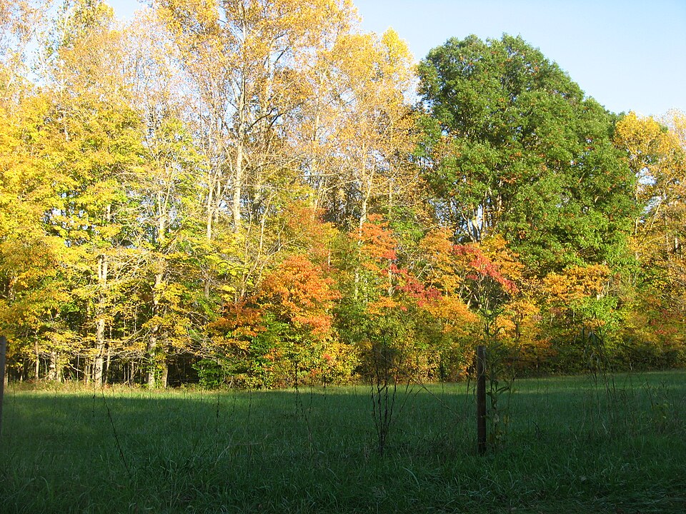
- Lawrence County's image is recorded as Trees along H'ville-B'ville Road.jpg[5].
- Lawrence County's instance of is recorded as county of Indiana[6].
- Lawrence County's capital is recorded as Bedford[7].
- Lawrence County's flag image is recorded as Flag of Lawrence County, Indiana.svg[8].
- Lawrence County's shares border with is recorded as Monroe County[9].
- Lawrence County's shares border with is recorded as Jackson County[10].
- Lawrence County's shares border with is recorded as Washington County[11].
- Lawrence County's shares border with is recorded as Orange County[12].
- Lawrence County's shares border with is recorded as Martin County[13].
- Lawrence County's shares border with is recorded as Greene County[14].
- James Lawrence is named after Lawrence County[15].
- Lawrence County's contains the administrative territorial entity is recorded as Bedford[16].
- Lawrence County's seal image is recorded as Seal of Lawrence County, Indiana.svg[17].
- Lawrence County's VIAF cluster ID is recorded as 146568409[18].
- Lawrence County's locator map image is recorded as Map of Indiana highlighting Lawrence County.svg[19].
- Lawrence County's Library of Congress authority ID is recorded as n79066475[20].
- Lawrence County's Commons category is recorded as Lawrence County, Indiana[21].
- Lawrence County's OpenStreetMap relation ID is recorded as 1482339[22].
- Lawrence County's located in time zone is recorded as Eastern Time Zone[23].
- +1818-01-07T00:00:00Z marks the founding of Lawrence County[24].
- Lawrence County's GNIS Feature ID is recorded as 451703[25].
- Lawrence County's coordinate location is recorded as {'lat': 38.84, 'lon': -86.49}[26].
- Lawrence County's Freebase ID is recorded as /m/0nt5l[27].
Body
Geography
Lawrence County is in the country of United States[4]. It is located in Indiana[3].
Physical Characteristics
Lawrence County's area is recorded as {'unit': 'Q712226', 'amount': '+1171'}[28]. Its elevation above sea level is recorded as {'unit': 'Q3710', 'amount': '+502'}[29]. Population counts include {'amount': '+46134'}[30], {'amount': '+46146'}[31], {'amount': '+46076'}[32], {'amount': '+46062'}[33], {'amount': '+45844'}[34], and {'amount': '+45495'}[35].
Designation and Status
Lawrence County's instance of is recorded as county of Indiana[6].
History and Context
+1818-01-07T00:00:00Z marks the founding of Lawrence County[24]. James Lawrence is named after it[15].
Why It Matters
Lawrence County draws 23 Wikipedia views per month (county_of_indiana category, ranking #55 of 92).[2] It has Wikipedia articles in 23 language editions, a strong signal of global cultural recognition.[36] It is known by 13 alternative names across languages and contexts.[37]