Entroncamento
0 sources
Entroncamento
Summary
Entroncamento is a municipality of Portugal[1]. Entroncamento draws 105 Wikipedia views per month (municipality_of_portugal category, ranking #69 of 307).[2]
Key Facts
- Entroncamento is located in Santarém[3].
- Entroncamento is located in Médio Tejo Subregion[4].
- Entroncamento is in the country of Portugal[5].
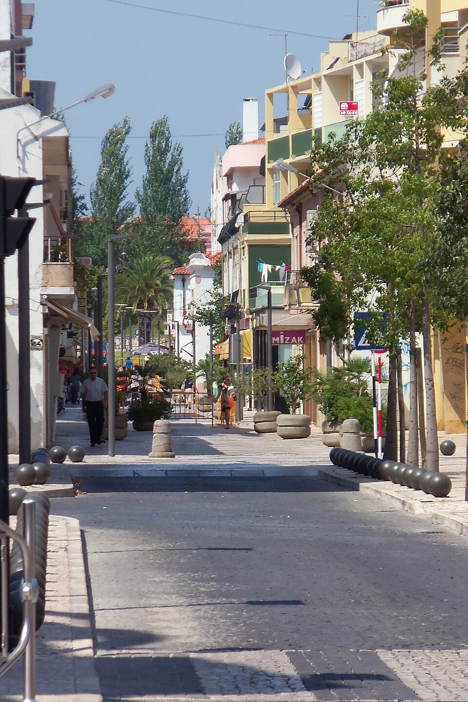
- Entroncamento's image is recorded as Rua Comercial Principal do Entroncamento.jpg[6].
- Entroncamento's instance of is recorded as municipality of Portugal[7].
- Entroncamento's flag image is recorded as Pt-ent3.png[8].
- Entroncamento's shares border with is recorded as Torres Novas[9].
- Entroncamento's shares border with is recorded as Golegã[10].
- Entroncamento's shares border with is recorded as Vila Nova da Barquinha[11].
- Entroncamento's coat of arms image is recorded as ENT1.png[12].
- railway node is named after Entroncamento[13].
- Entroncamento's contains the administrative territorial entity is recorded as Nossa Senhora de Fátima[14].
- Entroncamento's contains the administrative territorial entity is recorded as São João Baptista[15].
- Entroncamento's twinned administrative body is recorded as Villiers-sur-Marne[16].
- Entroncamento's locator map image is recorded as LocalEntroncamento.svg[17].
- Entroncamento's postal code is recorded as 2330[18].
- Entroncamento's Commons category is recorded as Entroncamento[19].
- Entroncamento's OpenStreetMap relation ID is recorded as 5400342[20].
- Entroncamento's located in time zone is recorded as UTC±00:00[21].
- Entroncamento's pronunciation audio is recorded as Pt-pt Entroncamento FF.ogg[22].
- Entroncamento's local dialing code is recorded as 249[23].
- Entroncamento's coordinate location is recorded as {'lat': 39.466666666667, 'lon': -8.4666666666667}[24].
- Entroncamento's Freebase ID is recorded as /m/05ysm0[25].
- Entroncamento's public holiday is recorded as patronal festival[26].
- Entroncamento's official website is recorded as https://www.cm-entroncamento.pt/[27].
Body
Geography
Entroncamento is in the country of Portugal[5]. Located in include Santarém[3], a district of Portugal[28], in Portugal[29] and Médio Tejo Subregion[4], a subregion of Portugal[30], in Portugal[31].
Physical Characteristics
Entroncamento's area is recorded as {'unit': 'Q712226', 'amount': '+13.73'}[32]. Entroncamento's population is recorded as {'amount': '+20206'}[33].
Designation and Status
Entroncamento's instance of is recorded as municipality of Portugal[7].
History and Context
railway node is named after Entroncamento[13].
Why It Matters
Entroncamento draws 105 Wikipedia views per month (municipality_of_portugal category, ranking #69 of 307).[2] Entroncamento has Wikipedia articles in 17 language editions, a strong signal of global cultural recognition.[34]